Agriculture

Revolutionizing Agriculture with Advanced LiDAR Perception
Robin W
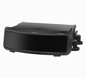
Seyond Robin W is positioned as the major contributor to the next generation of automated and autonomous agricultural machinery. This Ultra-Wide Field of View (FoV), compact, and high-resolution LiDAR sensor provides exceptional situational awareness crucial for off-road environments. With a wide 120°×70° FoV and a short minimum distance, Robin W delivers the dense, high-resolution 3D data required for increasing automation up to autonomy in tasks like dynamic path planning, object tracking, and terrain classification. Its robust performance in harsh, demanding agricultural conditions ensures reliable operation, transforming tractors, harvesters, and sprayers into intelligent, self-guiding systems.


Robin E1X
For applications requiring a balance of long-range detection and compact integration, Seyond Robin E1X stands out as our mid-range LiDAR solution. Featuring a long detection range (up to 300m) and a wide 120°×20° FoV, Robin E1X delivers high-fidelity, image-level resolution point clouds. Its compact, automotive-grade design ensures superior stability and reliability, making it ideal for integration into various farming implements. Our Robin E1X’s consistent point cloud generation is vital for tasks like high-speed obstacle detection and boundary identification over long stretches of field.
Competitive Advantages
All-Weather, All-Light Reliability
Superior Depth and Dimensional Accuracy
Robust Object Detection and Classification
Real-Time 3D Mapping and Terrain Modeling
High Precision Mapping
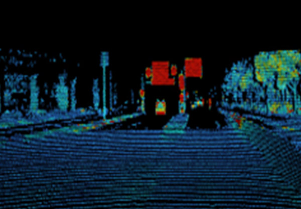
Our LiDAR sensors enable accurate 3D mapping of the environment. By generating a dense, real-time point cloud, the system creates high-resolution digital models of the terrain and crop structure. This precise spatial data allows automated machines to navigate complex and uneven terrains with precision, optimizing field coverage and minimizing missed areas or overlaps.


Obstacle Detection
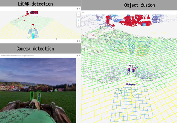
Seyond LiDAR’s active sensing capability ensures it can detect obstacles in real-time, even in challenging conditions like dust, fog, or low light. The resulting 3D data provides definitive distance and position information, dramatically improving safety and operational efficiency by enabling quick, decisive autonomous reactions to static and moving hazards.
Enhanced Automation
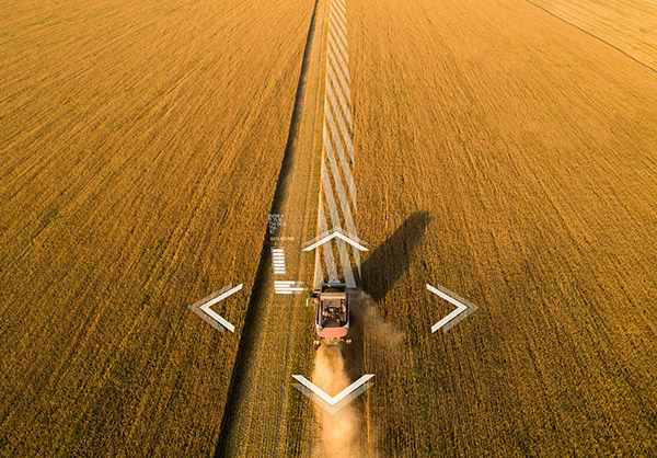
By providing detailed spatial data on the surrounding environment, our LiDAR enhances the automation of complex field tasks. This precision is critical for advanced applications like automated row following, precise seeding, variable rate spraying, and material handling, significantly reducing the need for manual intervention and enabling full autonomy.

Ready to Learn More?
At Seyond, we’re pushing the boundaries of LiDAR technology to shape a smarter, safer, and more connected future. Discover how our cutting-edge systems are revolutionizing industries and explore how we can help you achieve your vision.
